Each project record shows the survey challenge, the equipment deployed, and the spatial deliverable produced. Outputs range from topographic basemaps to high-density control network adjustments, with reference alignment documented at every stage.
Case Studies
Boundary, control, and terrain work
Boundary Delineation
Parcel boundary survey and monumentation
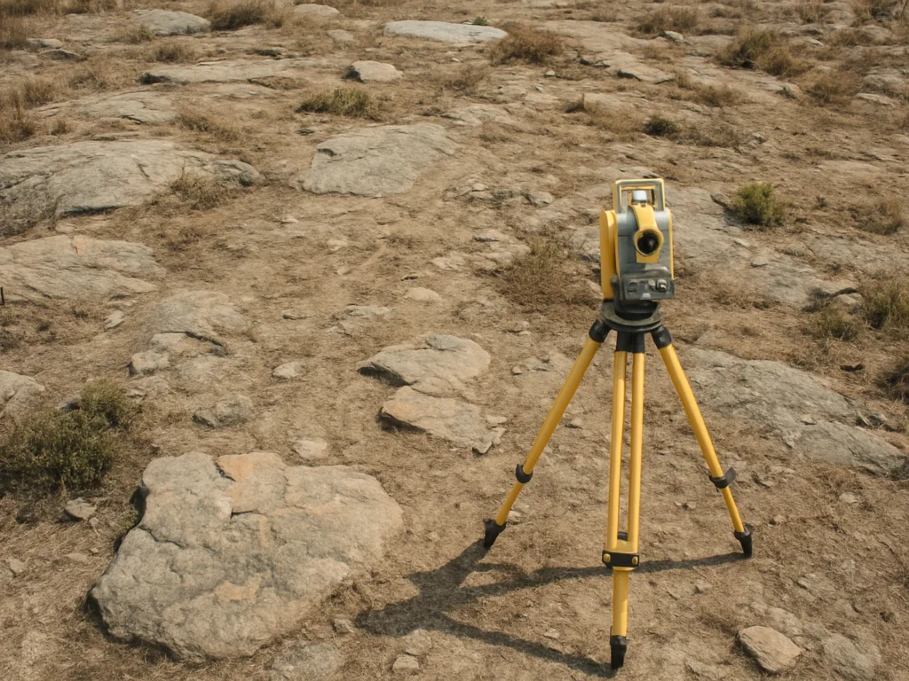
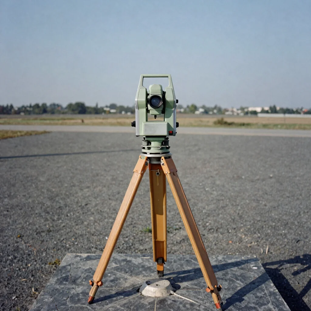
The challenge was establishing legible property limits on terrain with partially surviving markers. Field traverses tied new control to existing monuments, and the resulting boundary plan documents each corner with its coordinate reference and measurement uncertainty.
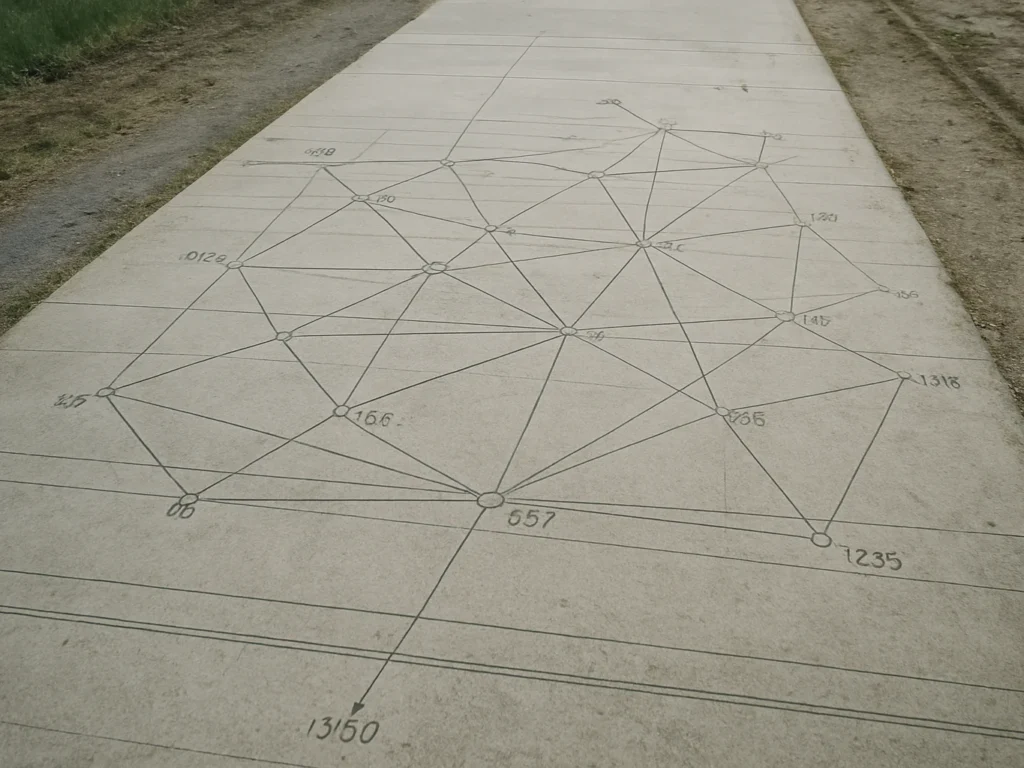
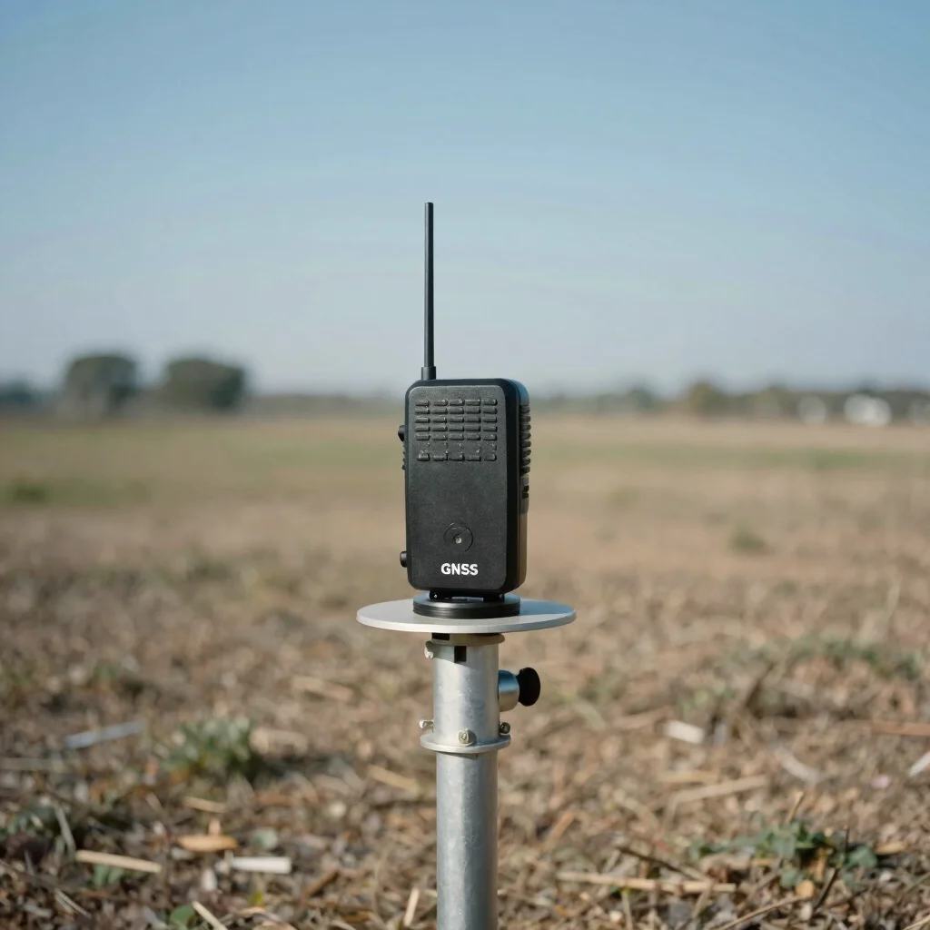
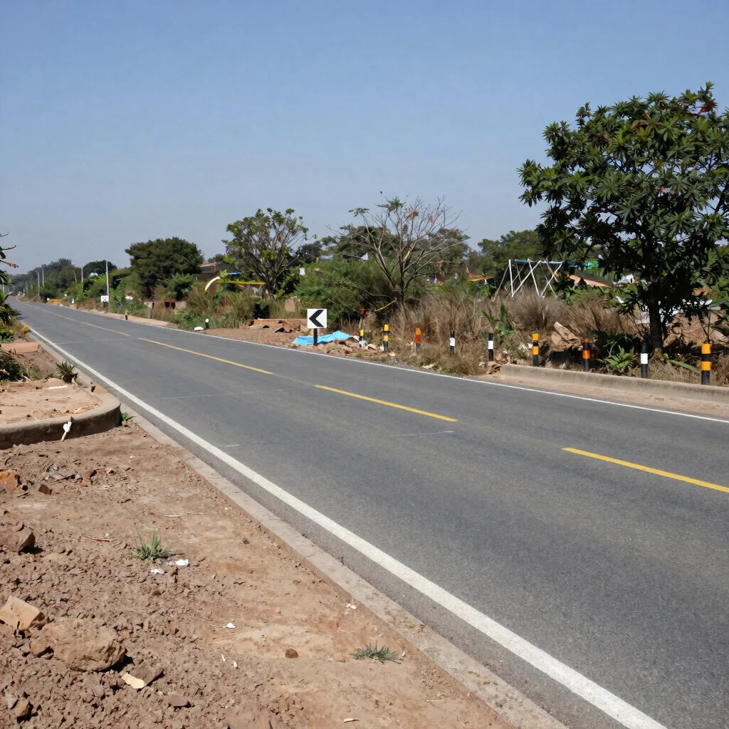
A continuous corridor required a dense network of control points referenced to a common coordinate system. Observations were adjusted to reduce residual misclosure, and the final deliverable lists each station with its adjusted coordinates and reference alignment.
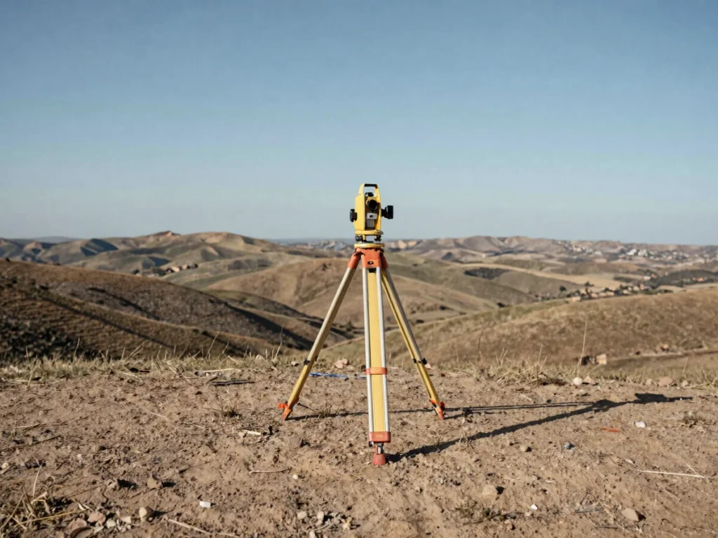
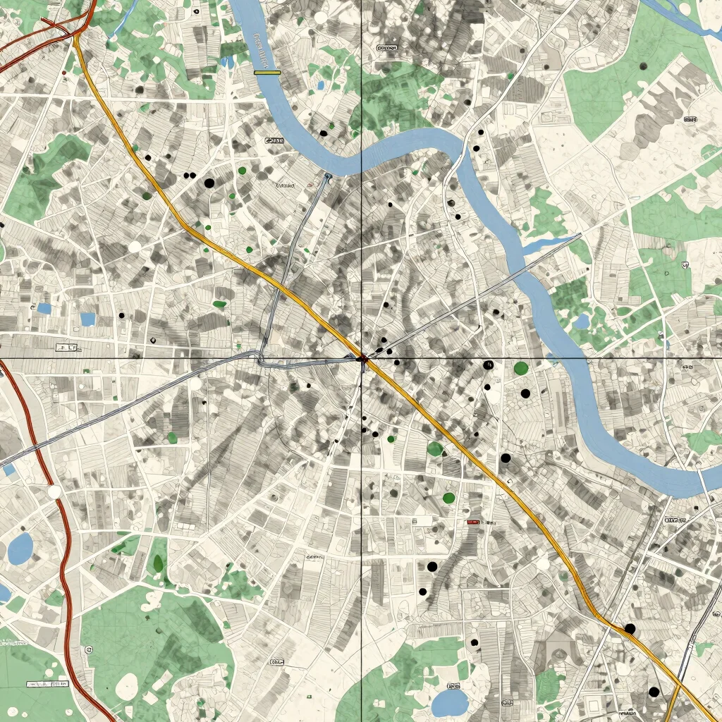
Terrain mapping covered varied relief with contour and spot-height data compiled from field observations. The output is a topographic basemap that records elevation and planimetric detail, prepared for use in downstream spatial analysis.