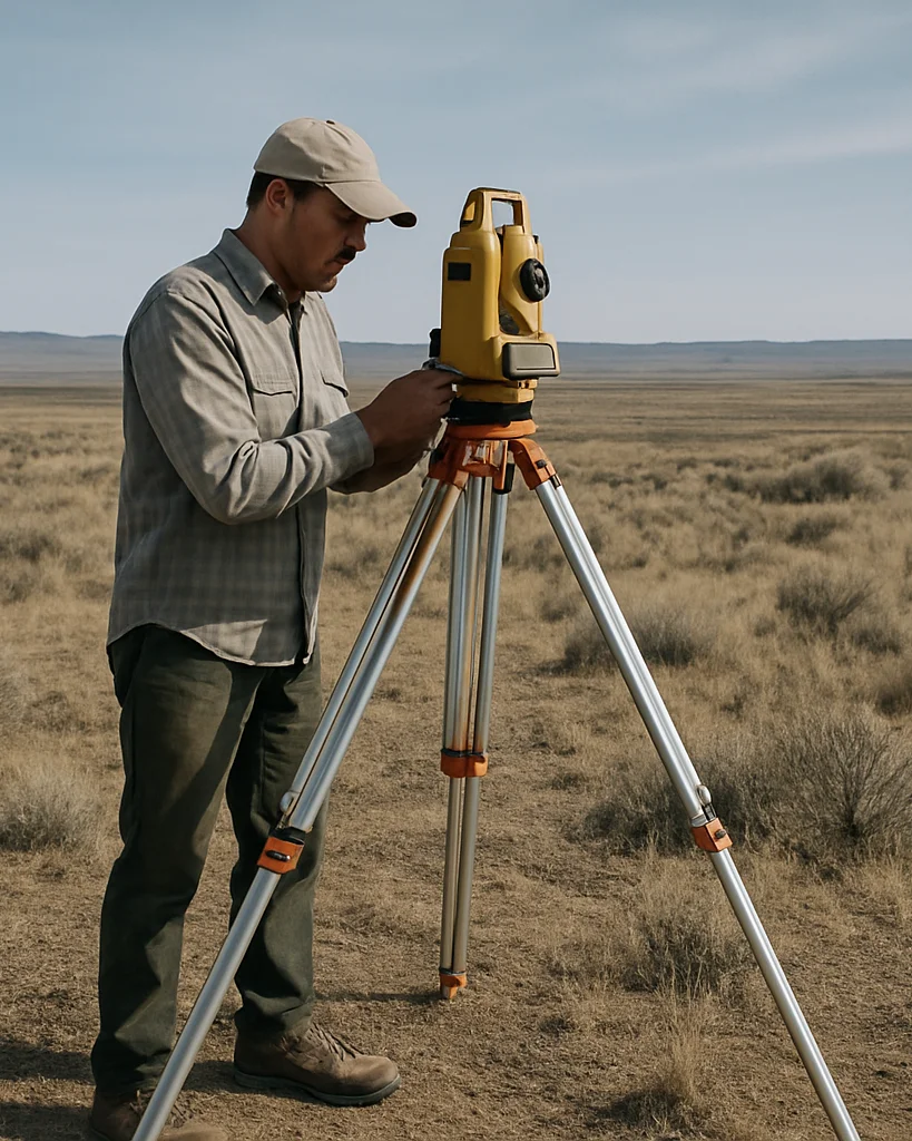
Geodetic.ID provides land measurement, positioning, coordinate systems, and mapping for people and organizations who need dependable spatial information.
Reliable coordinates come before any physical work begins.
Geodetic work establishes dependable physical locations through disciplined field measurement. Clear spatial information then gives planners and engineers the reliable foundation for development.
Core practice
Four connected disciplines
Our work spans land measurement, positioning, coordinate systems, and mapping, each supporting the next.
01
Land measurement
Field measurement of boundaries, elevations, and terrain that records physical conditions accurately.
02
Positioning
Determination of point locations relative to a reference, so every measured feature has a defined position.
03
Coordinate systems
Definition and application of consistent coordinate frameworks so spatial data from different sources aligns.
04
Mapping
Production of legible maps and spatial datasets that present measured information for planning and review.
Describe your survey requirements
Review detailed service specifications or reach out to discuss a project.