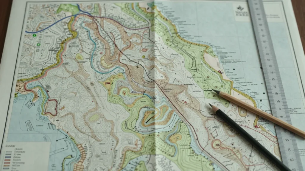
Geodetic.ID delivers land measurement, positioning, coordinate system definition, and cartographic mapping. Each discipline turns field observations into reliable spatial information for engineering, land administration, and infrastructure planning.
Core Capabilities
Four disciplines, one spatial record
Each capability addresses a distinct stage of establishing where a feature is and how it is described.
Discipline 01
Land Measurement
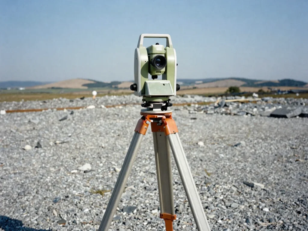
We capture boundary geometries, elevation contours, and physical terrain features. Measurements are recorded against a documented control network so every line and height can be traced back to its source.
Discipline 02
Positioning
Field observations are linked to satellite constellations and static terrestrial baselines. Positioning establishes the coordinates of each point within a known reference frame.
Discipline 03
Coordinate Systems
We define and apply coordinate reference systems and datums so that measurements from different sources share one consistent frame. This keeps project data aligned across design, construction, and records.
Discipline 04
Cartographic Mapping
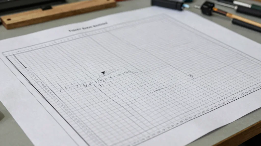
Processed observations are translated into structured spatial layers and map sheets. Outputs are prepared for review, export, and integration with project systems.
How We Work
From benchmark to deliverable
01
Benchmark Reconnaissance
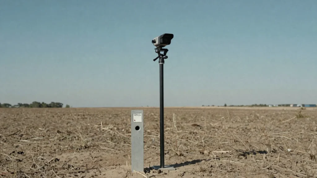
We survey the site, identify existing control points, and confirm which benchmarks are available for the task.
02
Field Observation
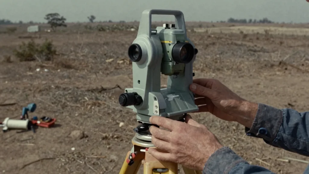
Measurements and positioning observations are recorded using calibrated instruments against the established control.
03
Adjustment Computations
Observations are processed and adjusted to reconcile measurement errors and bring results into the chosen coordinate system.
04
Map Export
Verified coordinates and features are compiled into map layers and delivered in formats suited to the project.
Share your project boundaries and spatial scope
Send us the location, the survey objective, and the deliverables you need. We will confirm the approach and the coordinate reference for your work.