Knowing where things are, and how that position is described
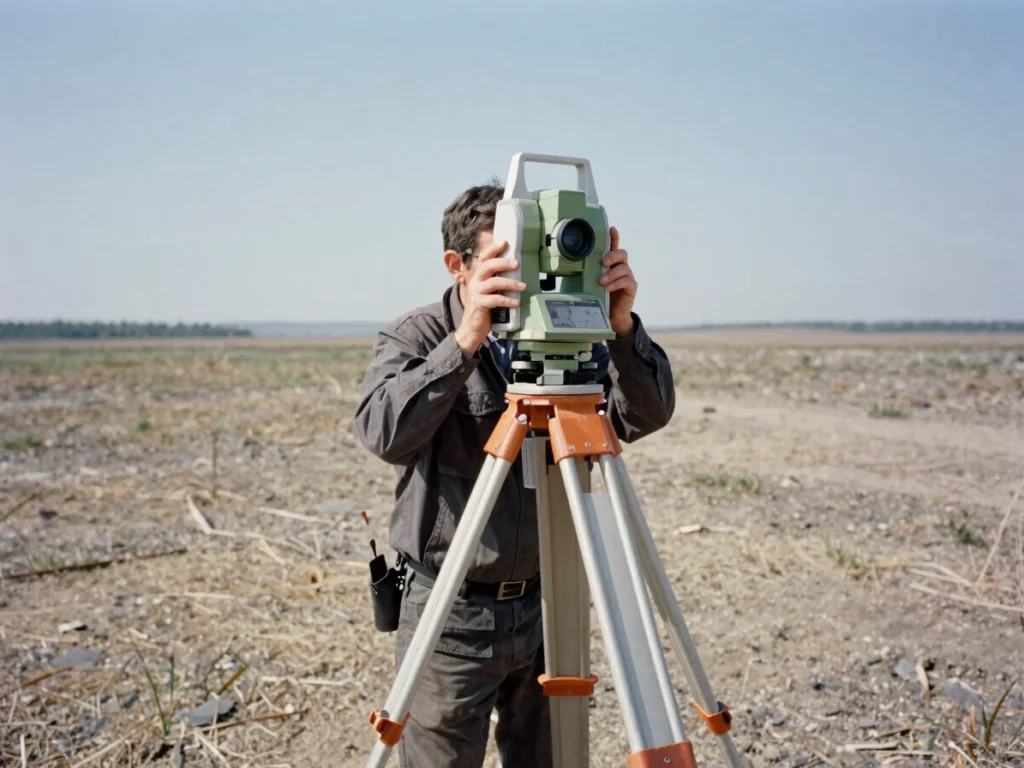
Geodesy accounts for terrain curvature, elevation baselines, and local spatial deformation. Our practice turns careful field observation into spatial records that others can rely on.
Geodetic information underpins decisions that depend on exact position, elevation, and reference frames across several sectors.
Civil infrastructure and boundaries
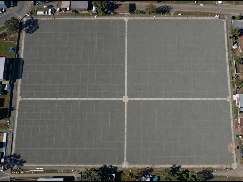
Control networks guide road, bridge, and utility alignment, while boundary demarcation records legal limits of land with traceable coordinates.
Resources and utilities
Natural resource planning and utility networks depend on consistent positioning, so that surveyed features can be located and maintained over time.
Reference framework
From field observation to lasting records
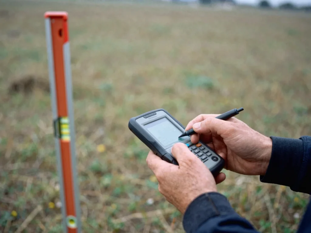
Field observations are measured against mathematical reference models. Each observation is tied to a defined datum, so the position it describes can be reproduced.
Measurement standards and datum models translate into usable project drawings, giving engineers, planners, and land managers a common spatial reference that lasts beyond a single survey.